
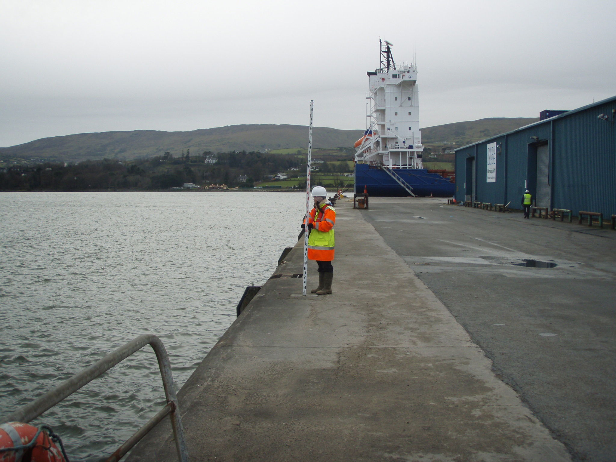
Single Beam Echo Sounder
SBES are typically carried out to determine the river/sea bed levels accurately in 2D and 3D. The data is typically used by engineers, architects, port authorities, civil contractors and modellers to facilitate developments, planning and monitoring.

Capability
HHS has invested heavily in the latest survey equipment and processing software in order to achieve the most accurate data possible and to pass on savings to the client as the whole data capture and processing routine workflow is streamlined. HHS primarily use Trimble R12 GPS,SX10 and S5 total station which operate as one integrated survey unit, in addition they are easily interfaced to third party devices which maintains the integrity of the data and enables HHS to deliver the highest quality data possible in either digital of hard copy format. The equipment can be quickly setup and calibrated on vessels of opportunity and can be easily allow either GPS or total station to out positional information to be logged.
Service
SBES data sets have a wide range of end users, a typical end use would include
Pre & Post dredge surveys
Regular depth monitoring surveys in historical problematic areas known to silt up
River flood surveys
Water abstraction
Pipe outfall routes
Reservoir surveys

Marine developments, ports marinas, shipping channels
Settlement ponds
XYZ data to facilitate hydrodynamic model generation
Cable routes
Wind farms
Scour surveys
Delivery formats
xyz, tin, contours, maps, kmz, ascii, volumes, diff models, dxf, dwg